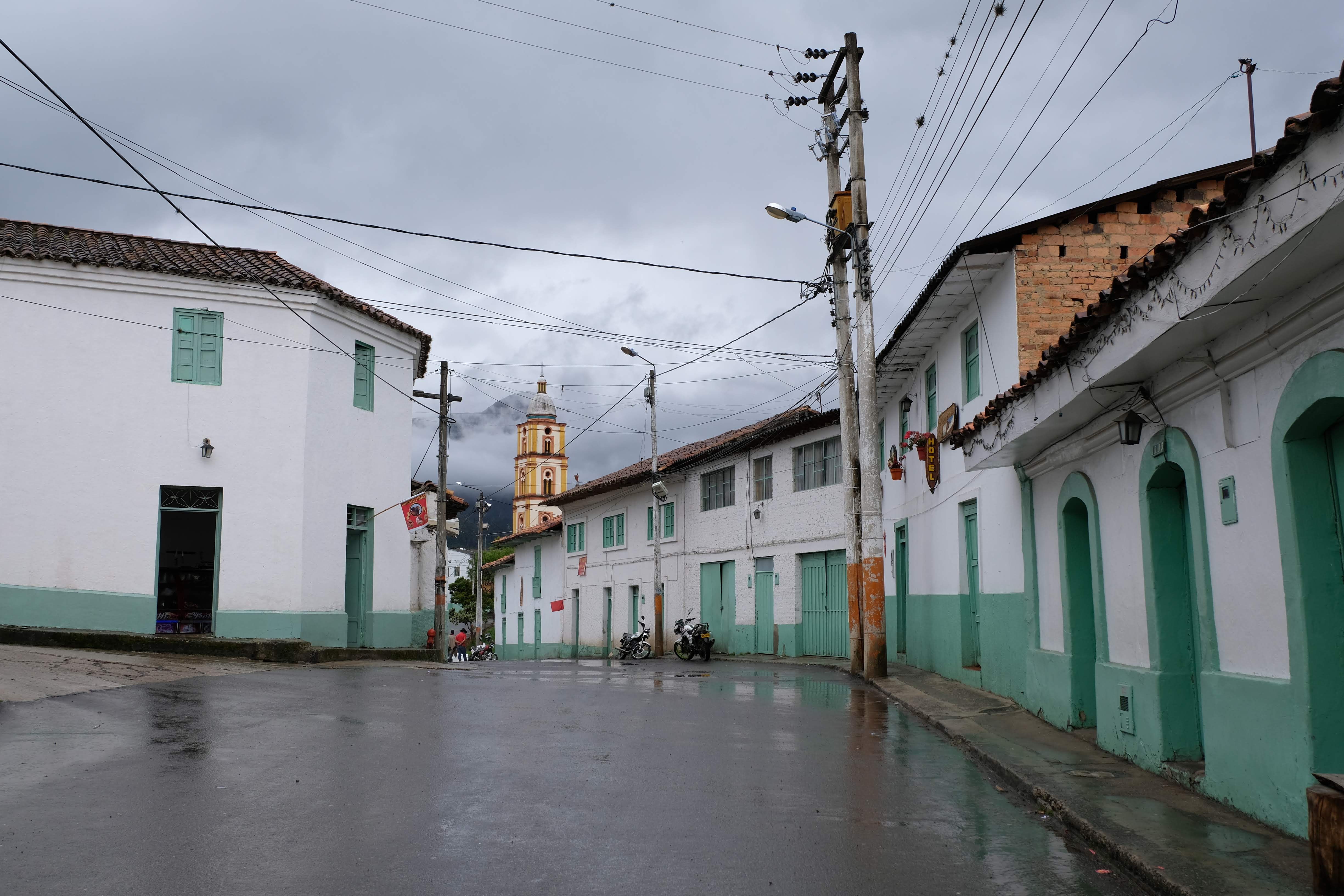
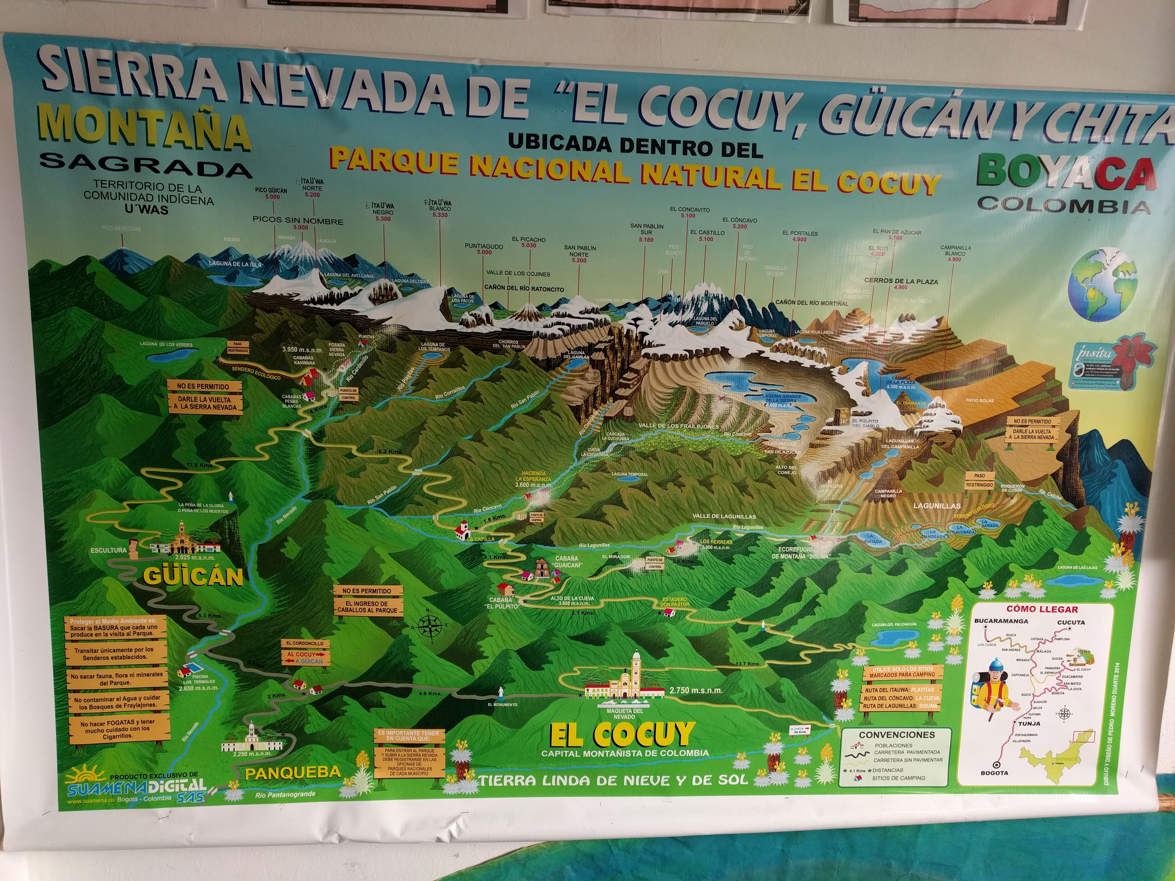
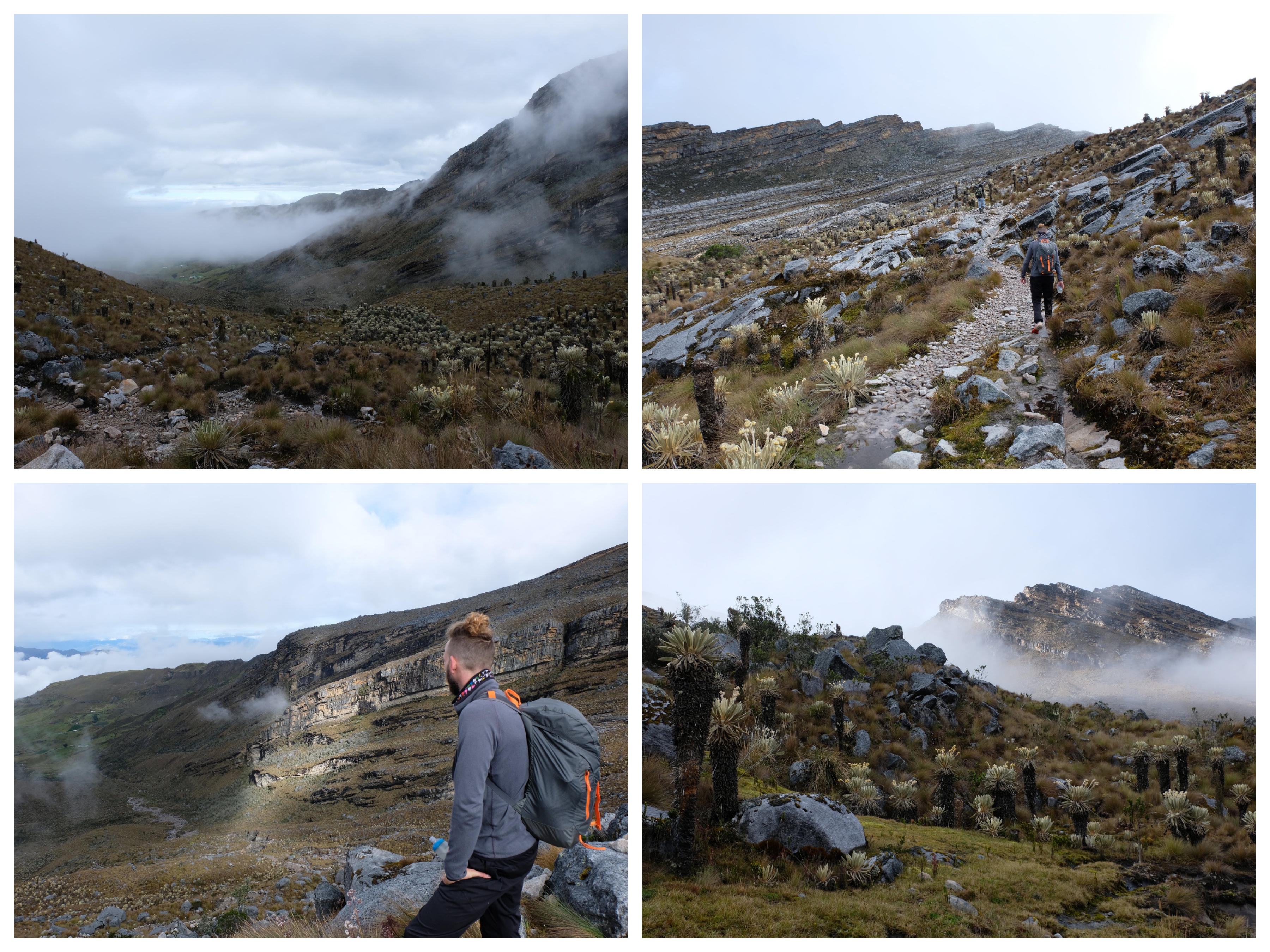
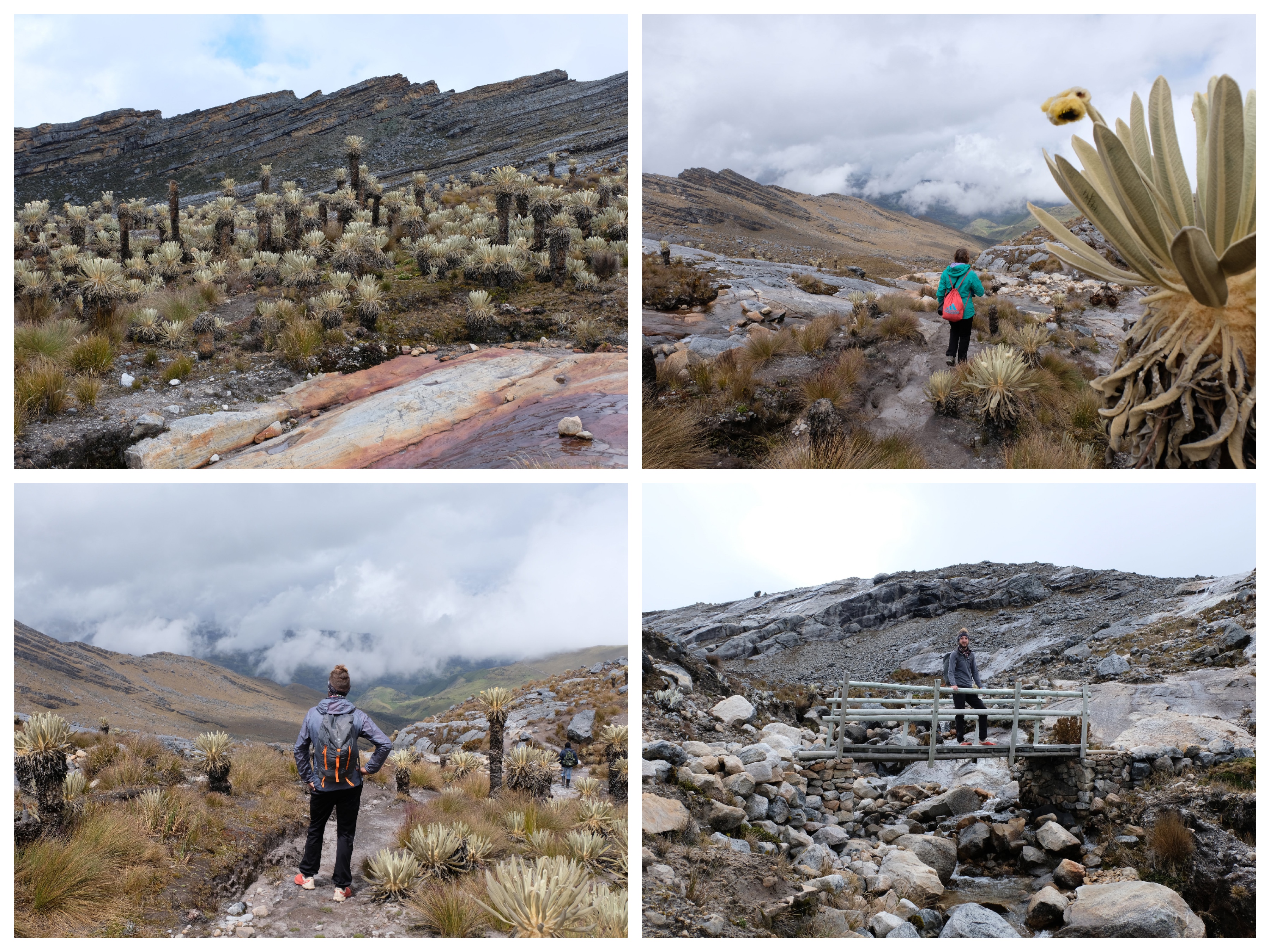
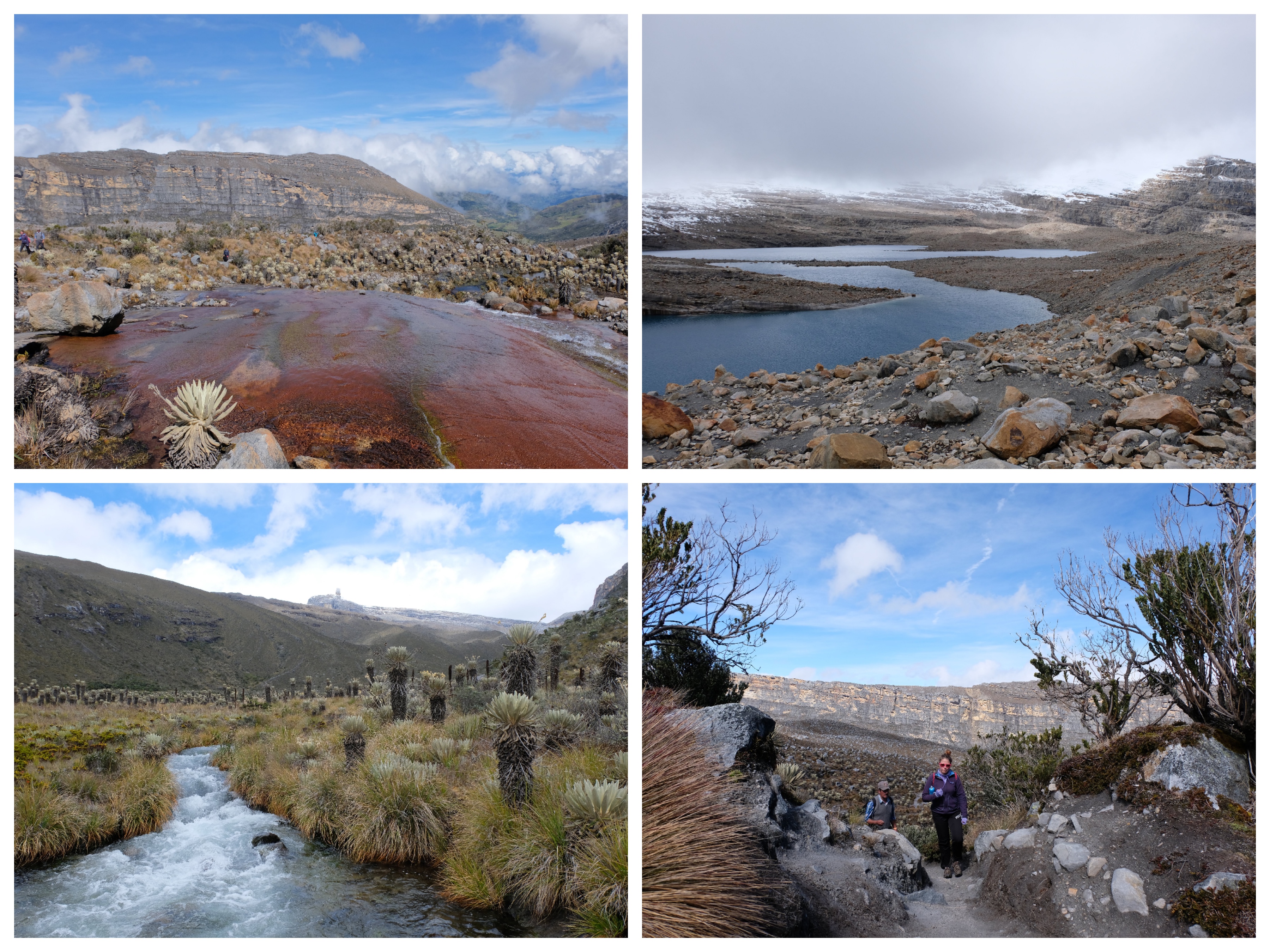
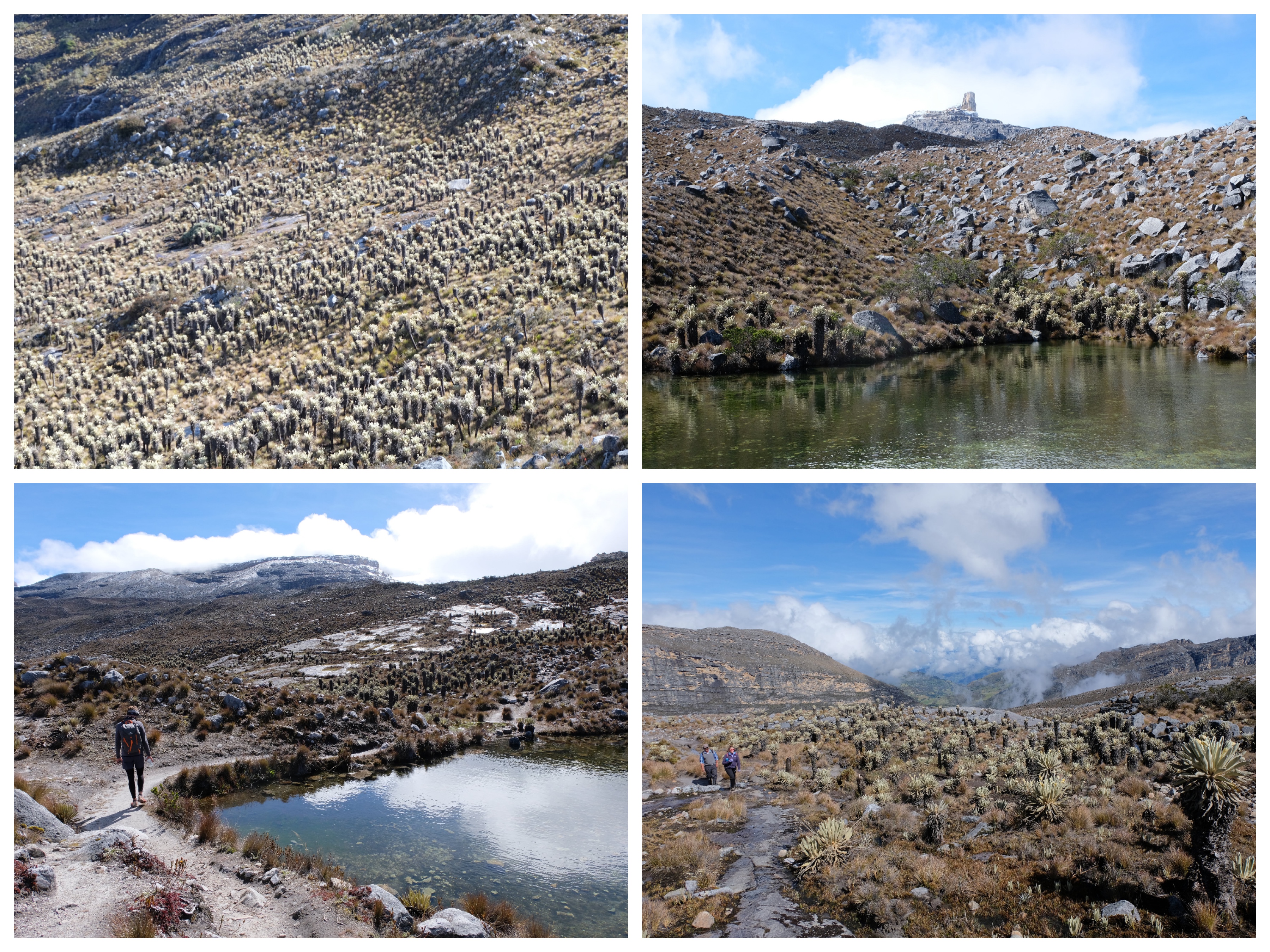
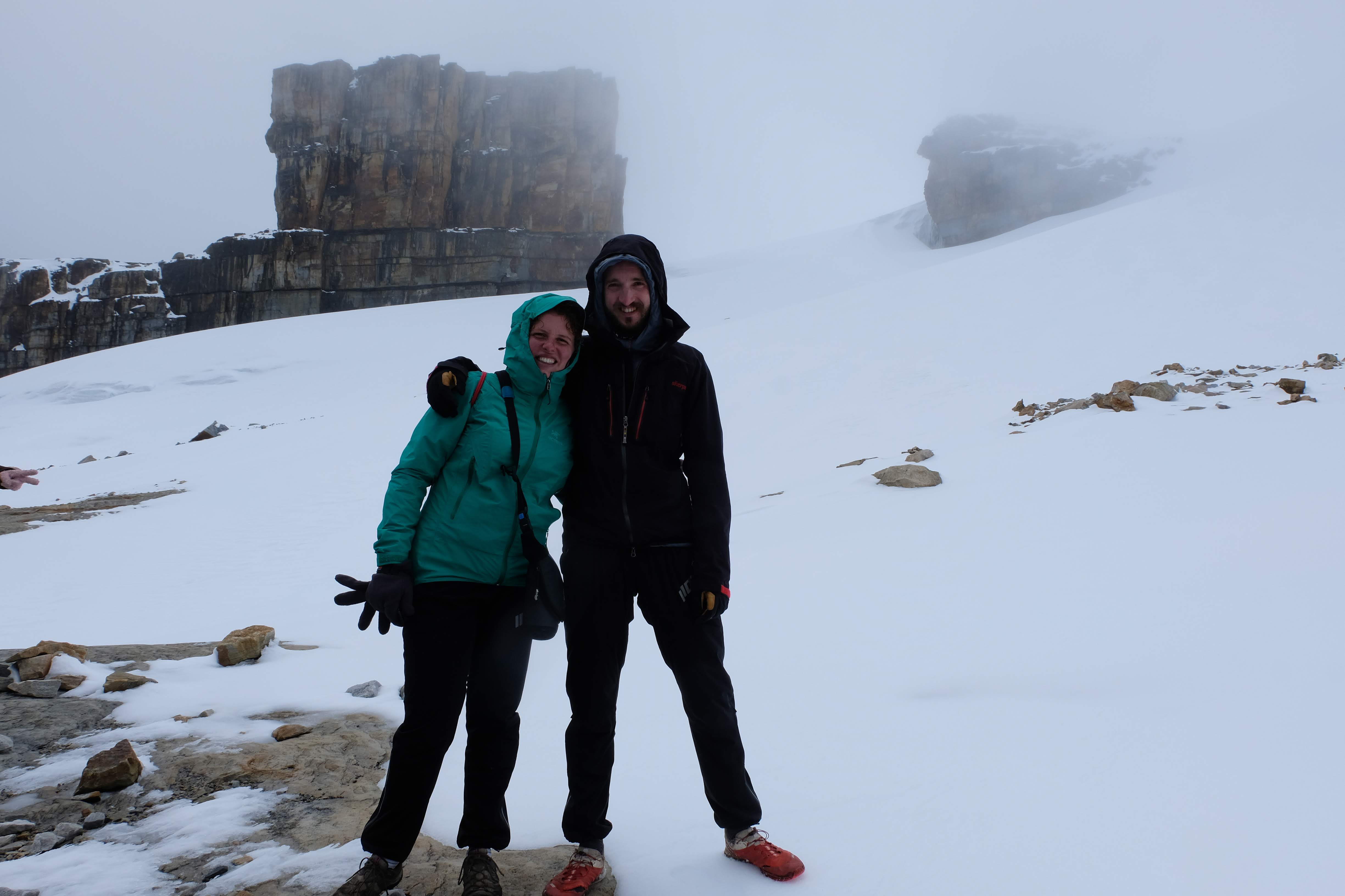
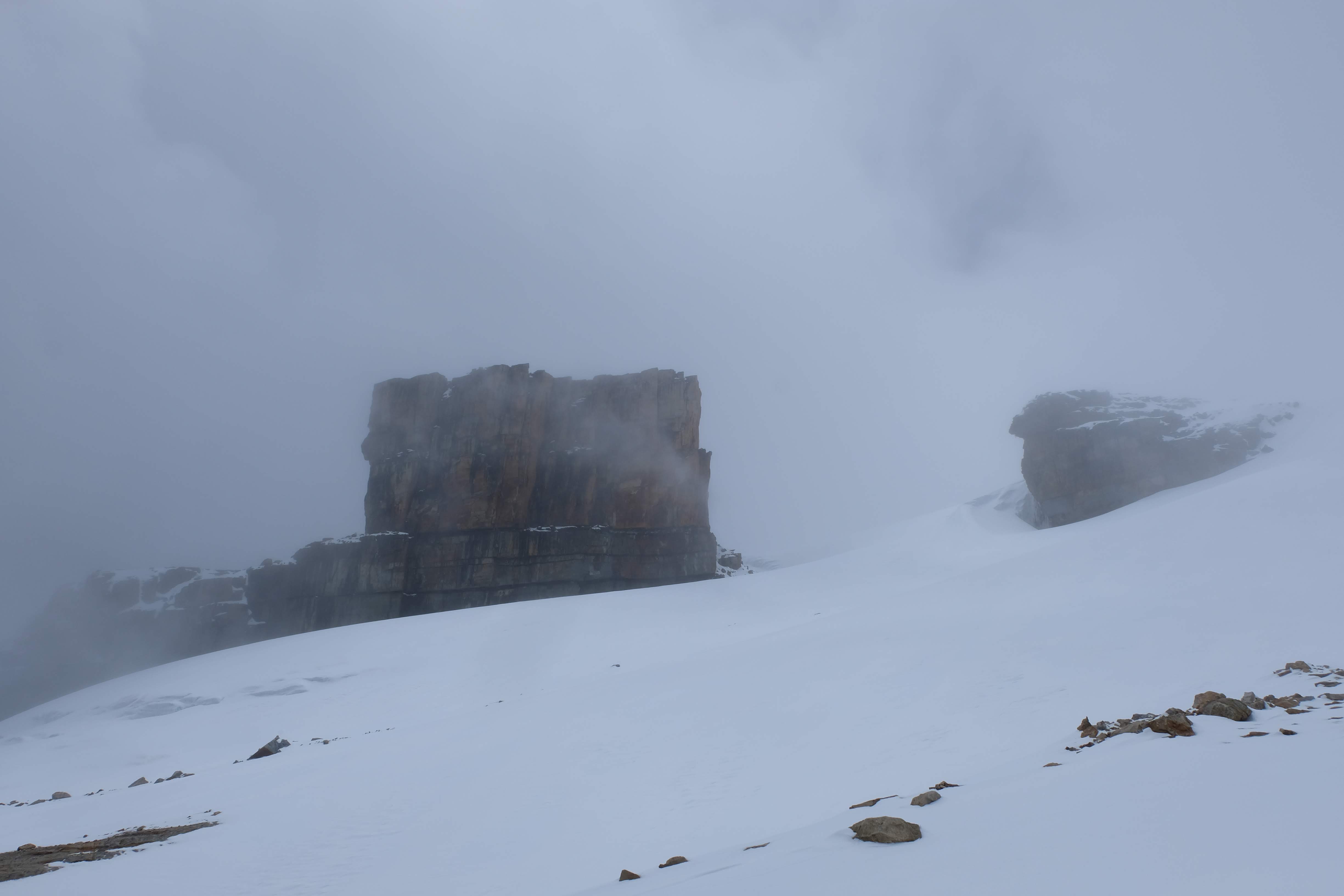
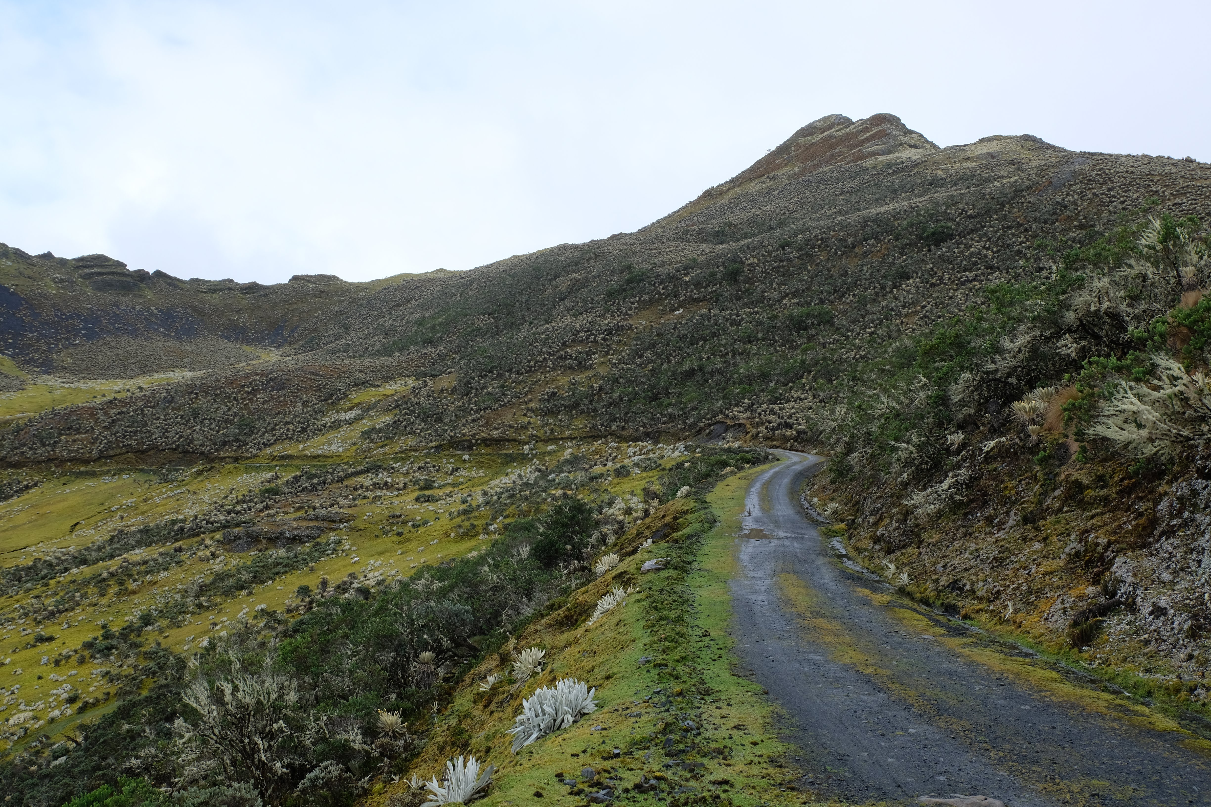
With only 1000 foreign visitors a year, El Cocuy National Park is an excellent place to get off the beaten track in Colombia.
Alas, getting off the beaten track does mean a little bit more organisation and patience – so, we’ve pulled together this blog to help try and fill in some of the gaps and give a bit of guide to organising your own trip.
The basics
The park is really quite remote – a ten hour drive from Bogota, eight from San Gil, and nine From Bucharmanga. So first hurdle is how to get there and around (more below).
The park has flicked from being open for multi-day hiking and camping a couple of years ago, to being completely shut at the end of 2017. So make sure you check the latest status before you embark on 12 hour bus journeys.
In August 2018 the park had three separate hikes open, all to above 4500m. All hikes must be done with a guide (we tried to get around this, it is not possible), with guides costing between 100,000-130,000 for a group of up to 6 people.
The whole thing does become quite expensive – with paying for a guide, transport, park entrance (55,000 as a foreigner) and accommodation costing around 100000 for two people for a night….it is one of Colombia’s more pricey activities.
But, for all the logistical hassle and lack of information – this is an amazing place to visit and well worth the effort.
To help get you started – here’s a google map to help get your bearings with the starts of the hikes and their GPX files:
How to get there…
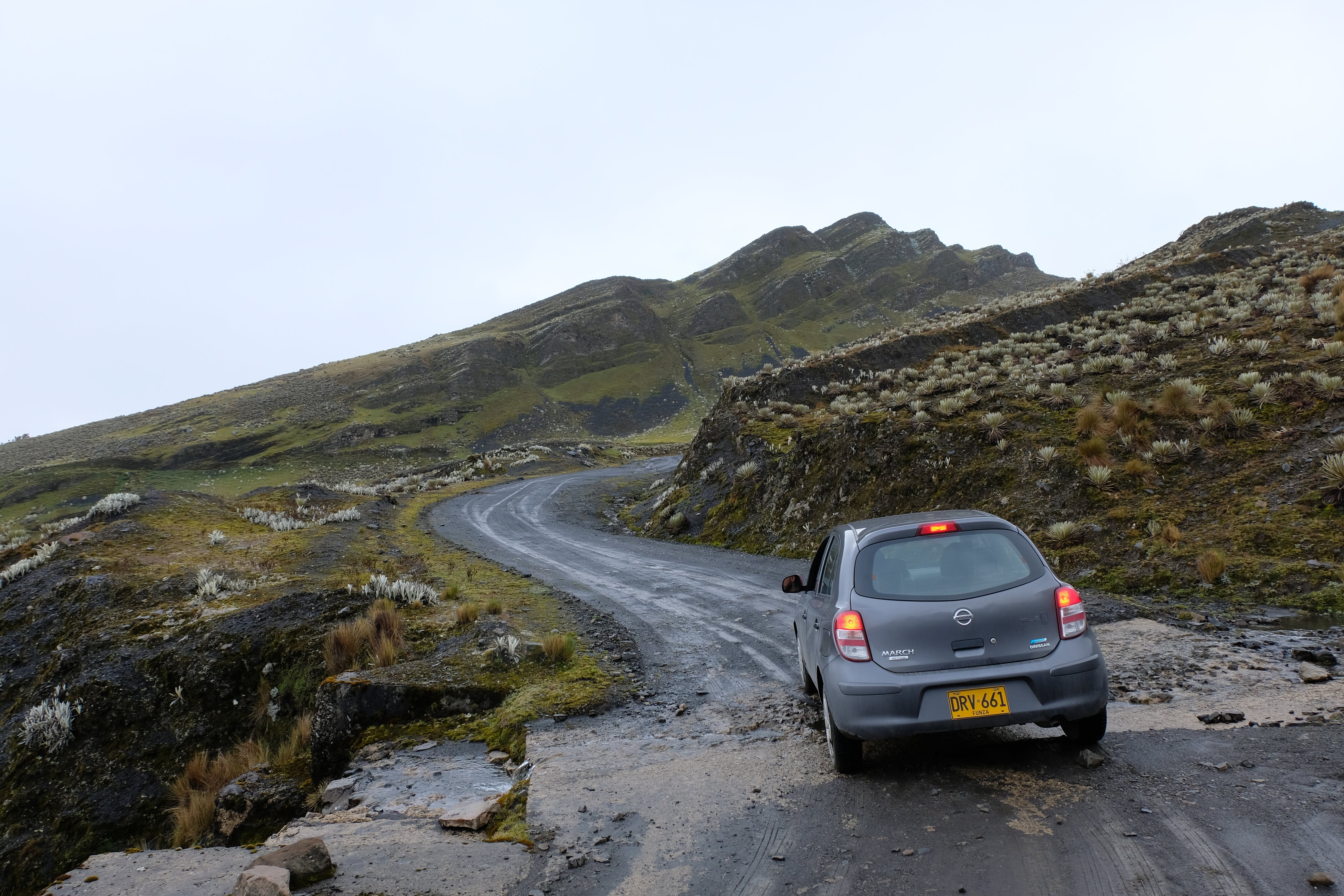
We took the easy way – hiring a car from Bogota with Localiza in Chapinero (https://goo.gl/maps/Hss4krB871k). It cost us about 600,000 pesos for 8 days. Not cheap, but gave us the flexibility we were after. Localiza also have an office in Bucharamanga. We couldn’t find a car hire option in San Gil.
But, if you’re not up for driving, there are overnight buses from Bogota main bus station to El Cocuy. It’s very difficult to get information about these on the internet – the company (I can’t for the life of me remember the name, sorry!) don’t appear to have a website. But, the buses do exist, we asked. They have a couple of buses in the evening (9pm, 10pm) and a few through the day. They say it takes 10 hours and is 80,000 pesos per person one way.
…And around
Once in the park, if you’re travelling without a car you can take the ‘milk trucks’ in the mornings to the start of the hikes. They have another one down in the evening. From what we heard, these are pretty cheap. But, because we had a car we didn’t really look into it much. It sounds like taking any other form of transport – i.e. a taxi, starts to really add up.
The roads are unpaved and it takes a reasonable amount of time to get to and from places (basically about 45 minutes between each major point). For example, El Cocuy village to La Esperanza (the start of the Laguna Grande Hike) is about 45 minutes.
The paperwork
In order to get yourself registered and ‘legal’ to go hiking, you’ll need to go to the park office. There’s one in El Cocuy (Calle 5 #4-22,Monday – Sunday, 7am – 11:45am and 1pm – 4:45pm) and one in Guican. The guy at the park office in El Cocuy is very friendly.
In order to get your park entrance (55,000 per person for foreigners for your whole trip in the park) you need to provide proof of your insurance and the fact you have a guide.
To get the insurance you need to go round the corner to an insurance office where a very lovely lady will help. You need to provide the specific days you are doing each trek (there are currently only three out and back treks open) and the name and ID number of your guide (and pay for their insurance). It is currently 7000 pesos per person per day. You need to show your passport. You get provided a wrist band. We’ve heard that if you can prove you have proper mountaineering level insurance above 4000m you might be able to get away with this bit …but this seemed like quite a lot of hassle on top of quite a lot of paperwork already!
We asked about doing it without a guide but at the moment it is not possible. Expect to pay anything from 100,000 to 130,000 for a guide per day (each guide can take up to 6 people). There is a list of guides in the park office (they can help you get one) or we found our hotel very helpful in organising one for us (la Esperanza, 120,000 a day)
Once you have all your insurance documents you can go back to the park office and they will take down your passport details. They then provide a piece of paper that you need to show when you enter the park (and they really do check).
The hiking
So, there are three hikes open at the moment (August 2018). We found it even quite difficult to get information about what each hike was like and proper elevation profiles – so here’s our summary of each of the hikes with our strava data!
But firstly, some overall tips and hints –
- You’ll probably be expected to start very early (particularly in rainy season, when the rains hit in the afternoon). We were on the trailheads by about 6.30am.
- The whole place is pretty cold – bring layers and rain protection
- The altitude can be pretty bad (I really struggled on the El Pulpito hike), take it easy, drink lots of water, and don’t be afraid to rest!
- There are streams along all the routes that you can fill up your bottle with. We didn’t purify it and are still alive.
Hike #1: the Ritacuba Trail or “La Ruta Norte”
Length – 10.75km
Elevation – 1026m
High Point – 4774m
Recommended Time to Hike – 6-8 hours
Our Time to Hike – 5.5 hours
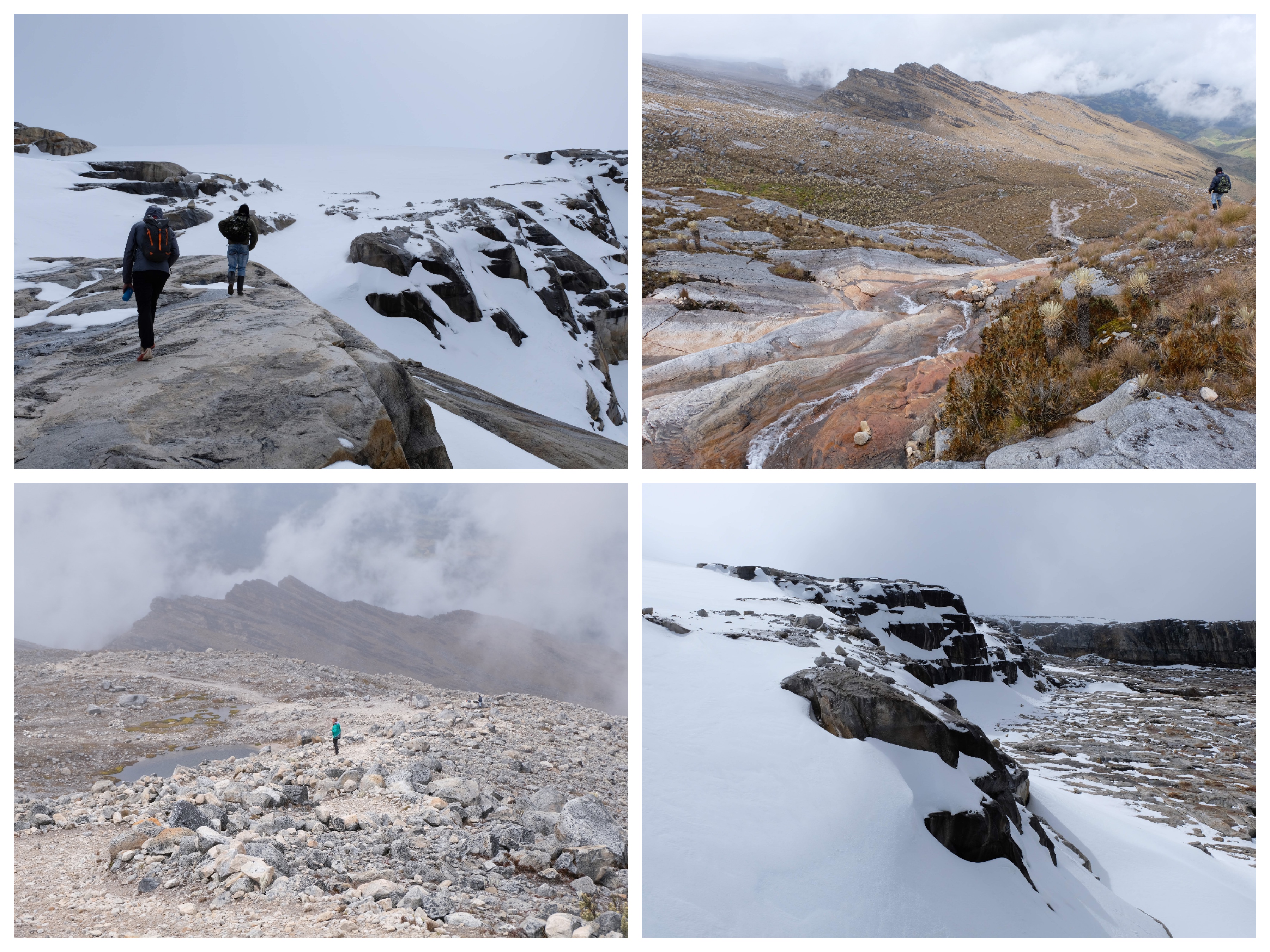
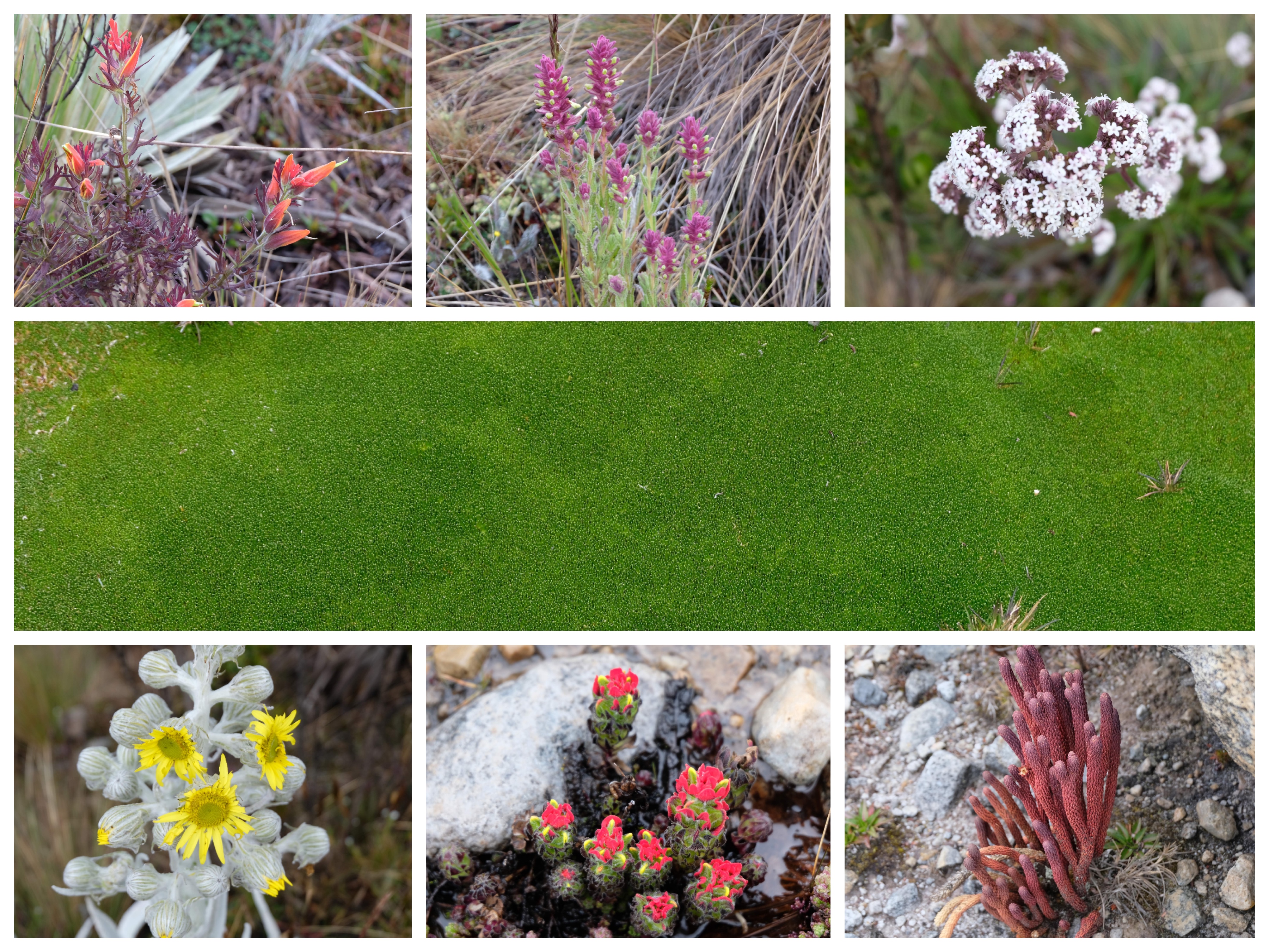
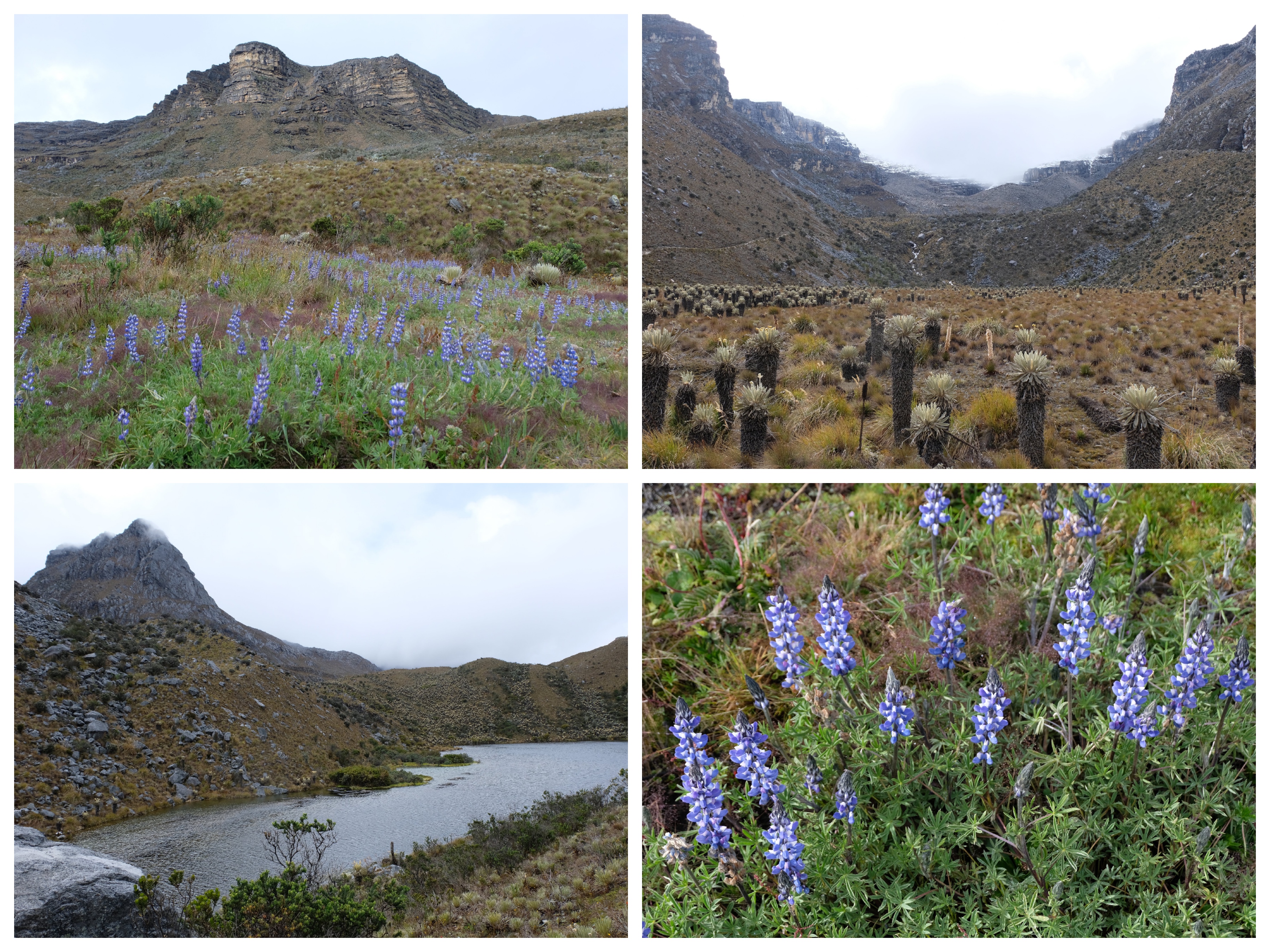
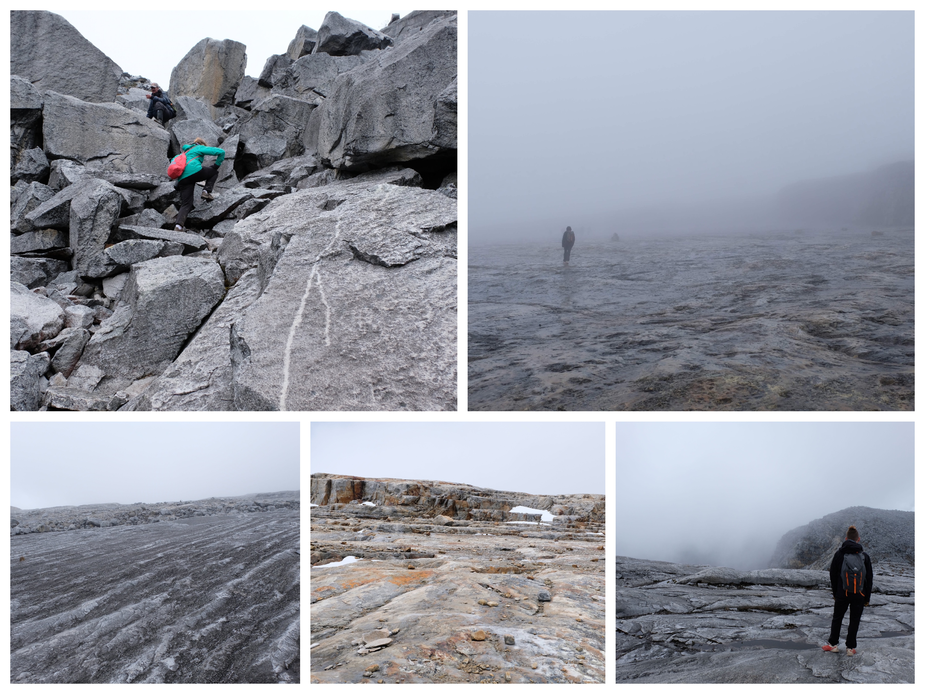
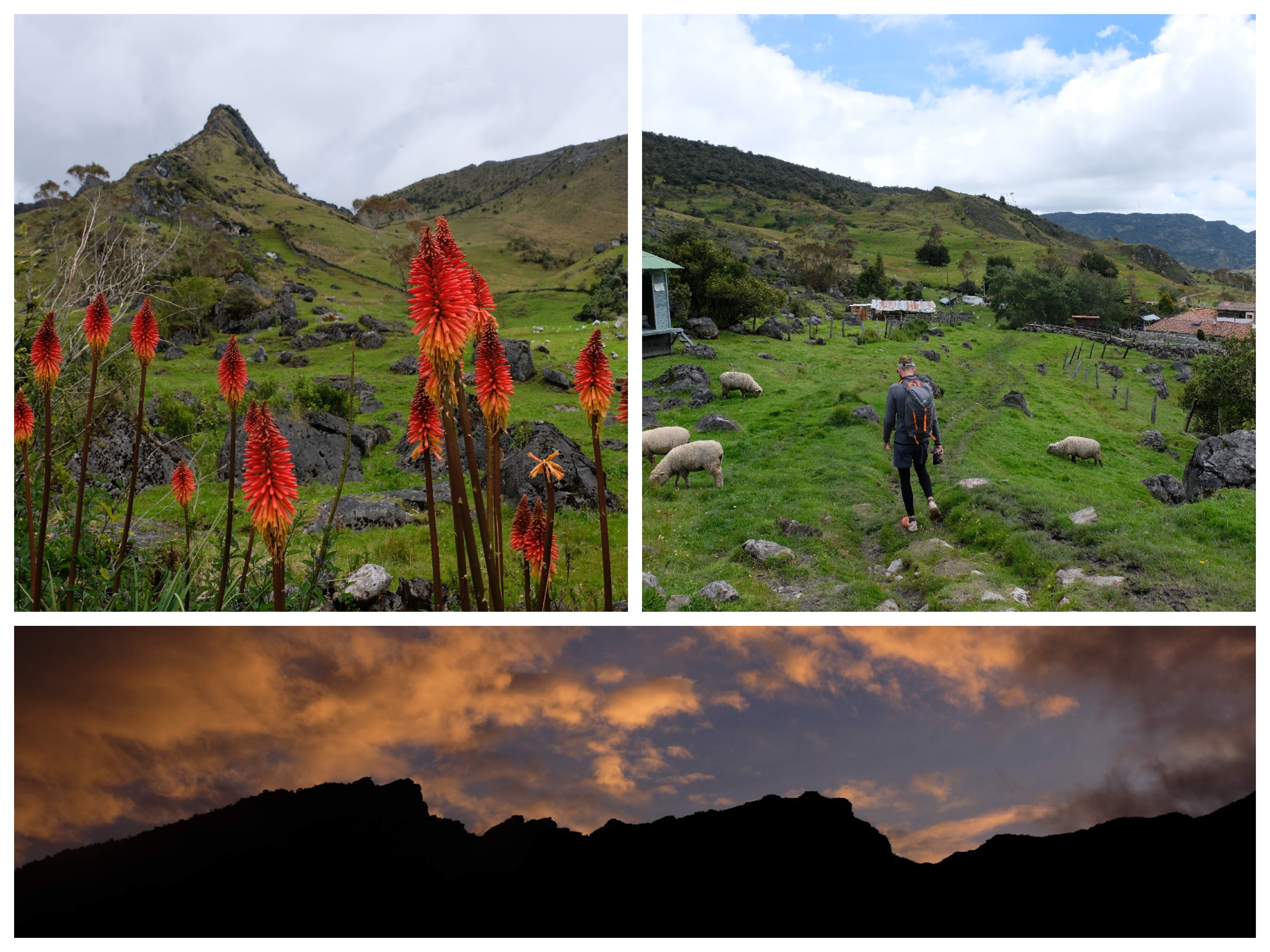
This hike went through a lovely valley, and then climbed to a rocky plain. We hiked across the grey stone to get to the edge of the snow line at 4700m. There were amazing plants all along the route.
Hike #2: Laguna Grande de la Sierra trail or “La Ruta Central”
Length – 15km
Elevation – 1131m
High Point – 4489m
Recommended Time to Hike – 8-10 hours
Our Time to Hike – 7 hours 20 minutes
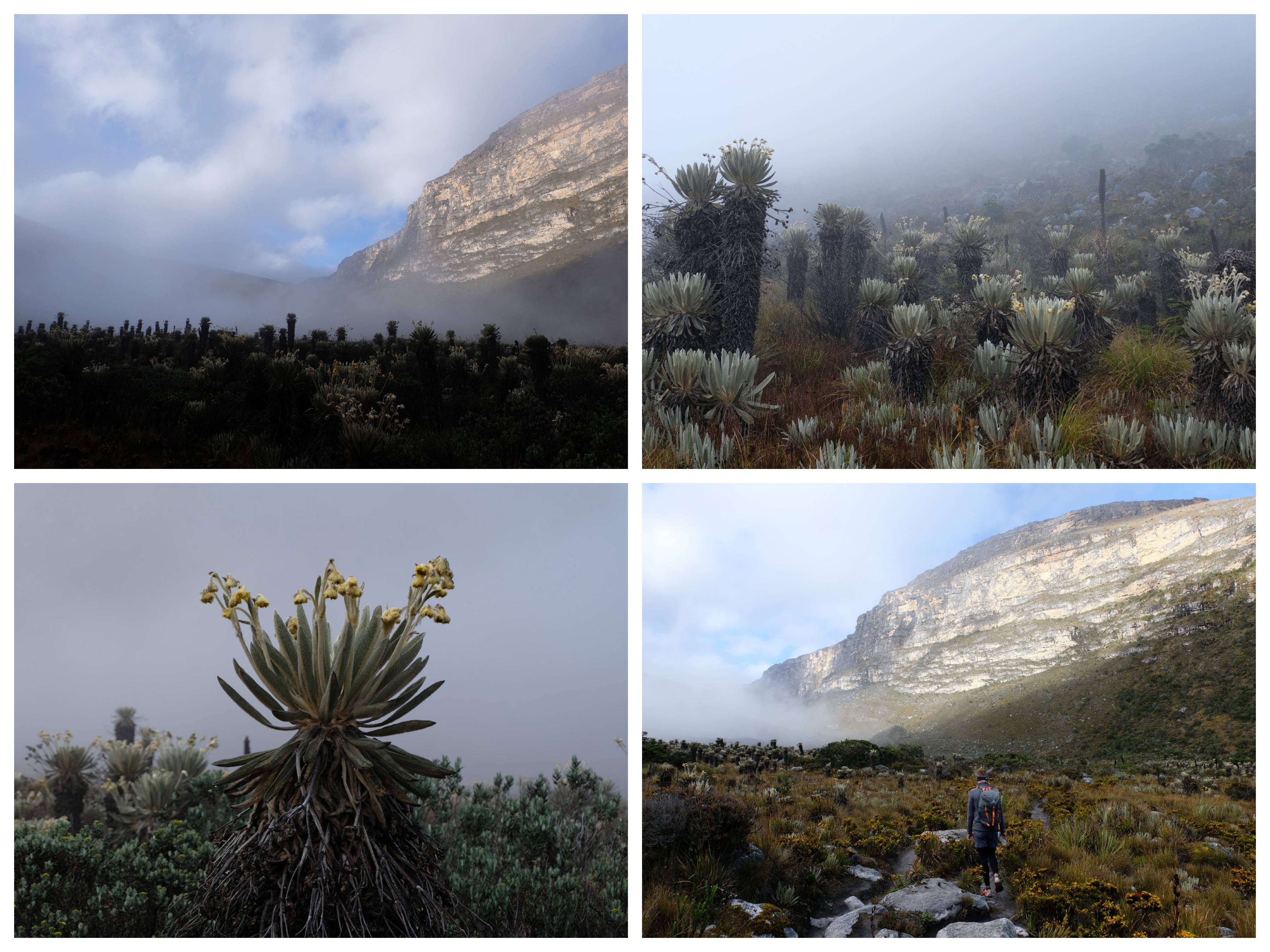
Beautiful hike with great views through the valley. The lake itself was slightly underwhelming, but great views of El Pulpito, walking through the Valle de Frailejones is beautiful and eery in the morning fog. It was very very cold and windy at the top.
Hike #3: Lagunillas/ El Pulpito trail or “La Ruta Sur”
Length – 22.3km
Elevation – 1272m
High Point – 4765m
Recommended Time to Hike – 10-13 hours
Our Time to Hike – 8 hours 45 minutes
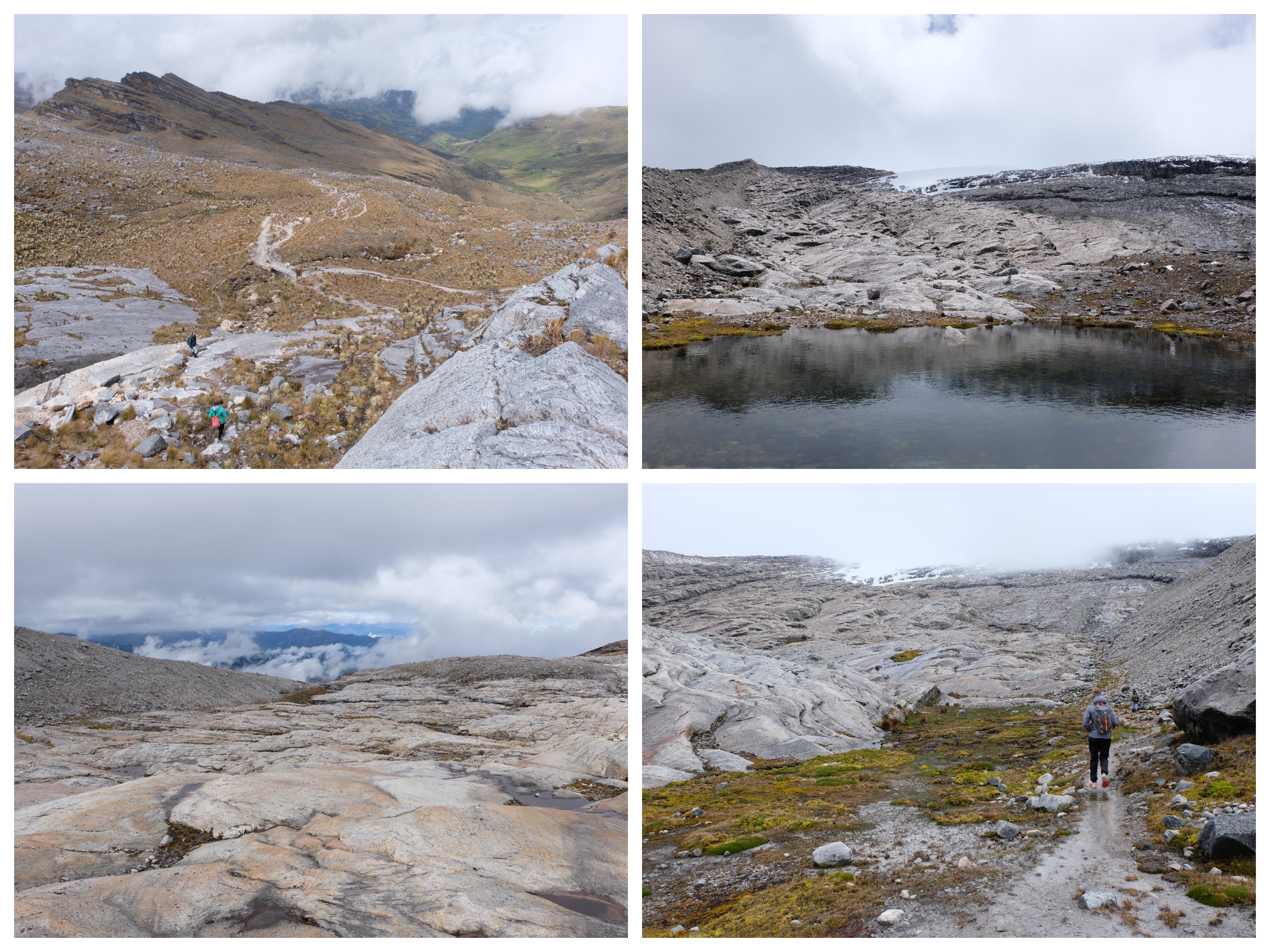
We found this to be the toughest hike. Very beautiful though, very steep in parts, long walk along a massive rock surface polished by a now receded glacier. On the other hikes there was only a handful of other people, this hike was very busy (weekend + huge group). Closest you can get to El Pulpito.
The accommodation
We found it relatively difficult to book accommodation – lots of places weren’t on the booking sites and we are really not confident with our telephone Spanish. If you are, we strongly advocate ringing ahead!
Because we had a car we decided to stay at the trail heads in the accommodation there. If you were taking the milk truck in the morning from El Cocuy, it probably makes sense to stay at some of the cheaper places in town.
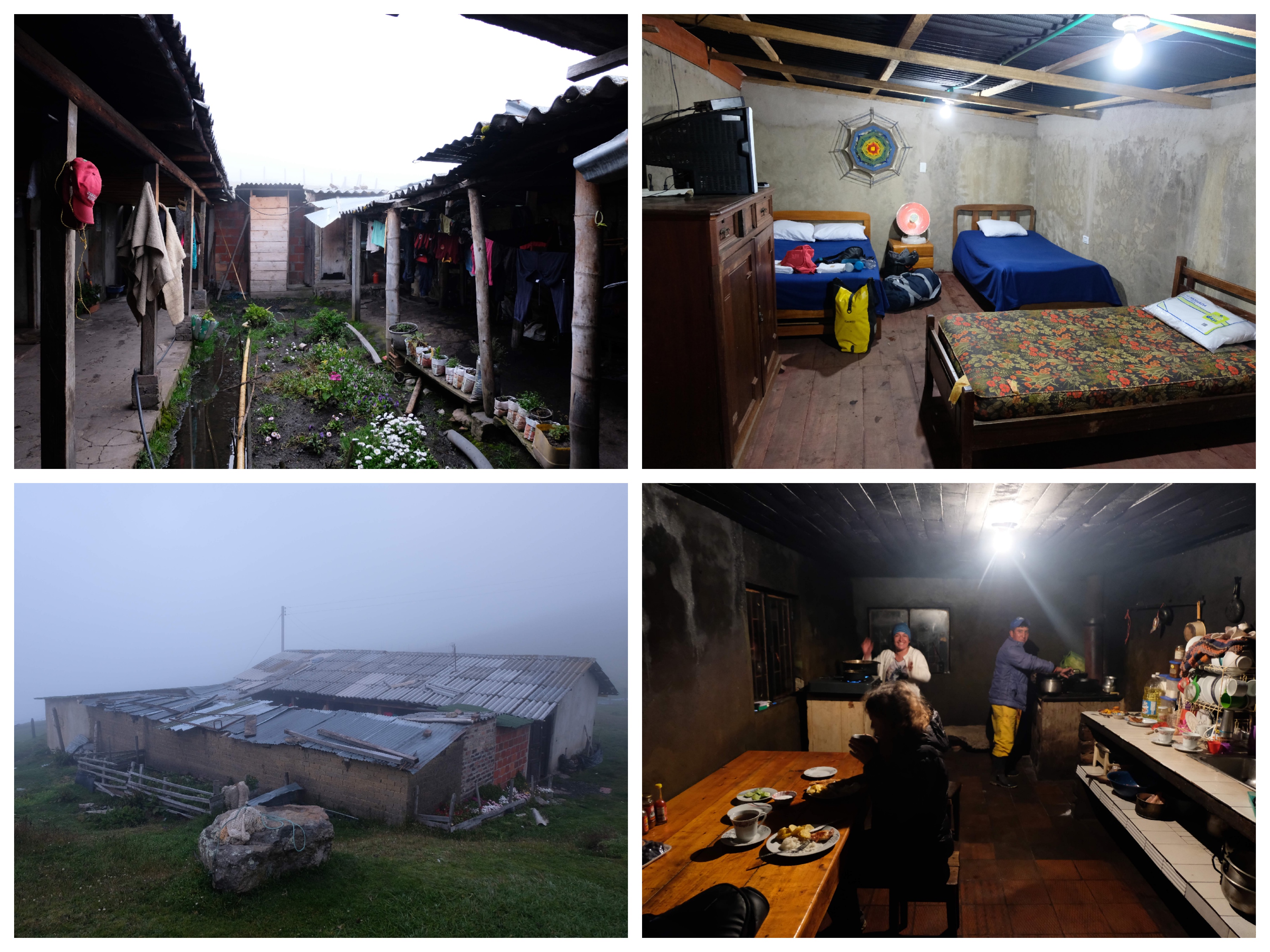
The first night we wanted to stay in Cabañas Kanwara near the trailhead for Ritacuba Trail. We booked in through booking.com, but they never showed up. The park ranger called them and they said they’d be there in an hour, but 1.5h later we were still waiting. The shepherds who live just below the ranger station invited us to stay at theirs (70,000 COP for both of us and I think 30,000 COP for dinner). We met another group who stayed at the Posada de la Sierra Nevada (just around the corner), who were happy there. Probably worth calling rather than relying on booking.com.
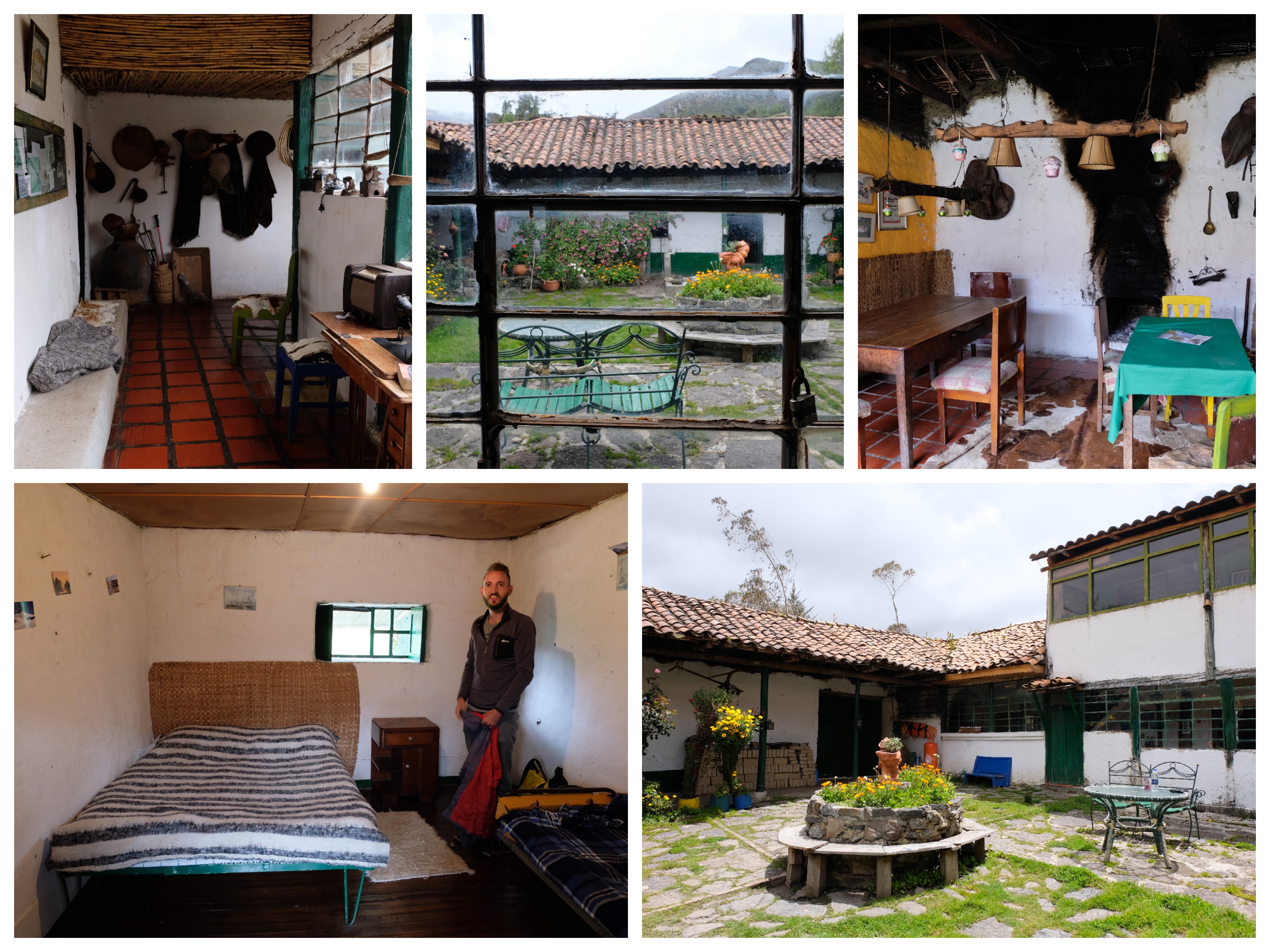
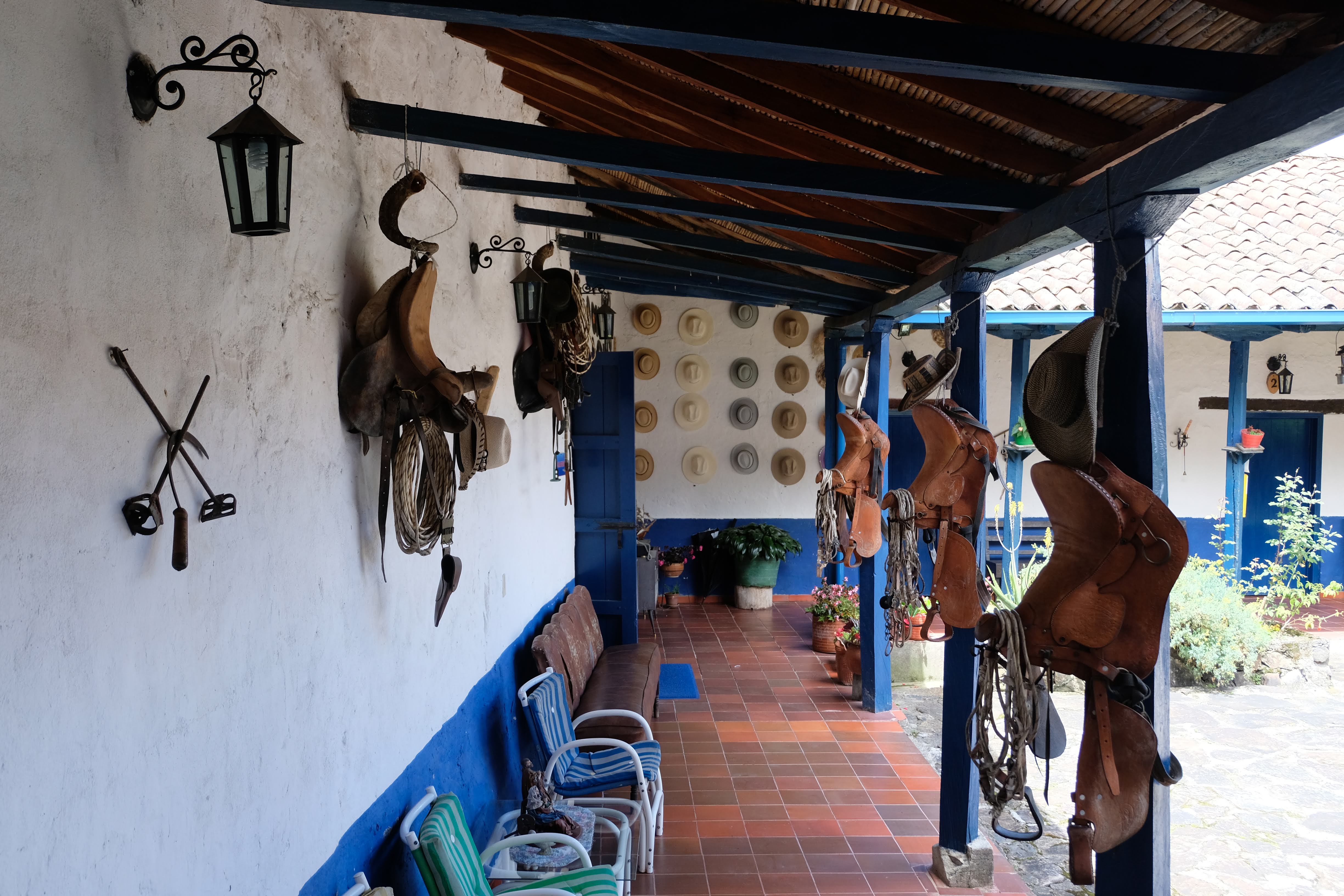
After that we stayed at La Esperanza. This place is great. Sergio, the son of the owner is a bit reserved at first but speaks good English and we had very interesting conversations with him about the history of the area. He’s also a great cook. We stayed here for two nights and transferred in the morning of the second day to the start of the El Pulpito hike. We also booked our compulsory guide (NP rules) through Facebook messenger with his wife who manages the hacienda’s FB page (https://www.facebook.com/HdaLaEsperanza/) using Google translate.
Our itinerary and costs
| Day | Date | Activity | Accommodation |
| tuesday | 31/07/2018 | Pick up hire car in Bogota – drive to Soata | Night in Soata |
| wednesday | 01/08/2018 | Drive to El Cocuy town, sort out paperwork, drive on to Kanwara Hut at start of Ritacuba Hike. | Night in shepherds hut |
| thursday | 02/08/2018 | Ritacuba Hike. After hike drive back down to Hotel Ecologico el Nevado for a rest day | Night near Guican |
| friday | 03/08/2018 | Rest day at Hotel Ecologico el Nevado near Guican. Afternoon drive to La Esperanza | Night at Hacienda la Esperanza |
| saturday | 04/08/2018 | Laguna Grande Hike. | Night at Hacienda la Esperanza |
| sunday | 05/08/2018 | El Pulpito Hike. Finish, drive back down the valley to San Mateo | Night in San Mateo |
| monday | 06/08/2018 | Drive to Villa de Leyva. Afternoon/Night Villa de Leyva | Night in Villa de Leyva |
| tuesday | 07/08/2018 | Drive back to Bogota via the Cathedral del Sal – Salt Cathedral. | Back in Bogota |
A rough estimate of our costs:
- Car hire – 600,000
- Fuel – 90,000
- Accommodation and meals in El Cocuy – 340,000 (3 nights)
- Accommodation outside of El Cocuy – 270,000 (4 nights, not including dinner, from 40,000 to 80,000)
- Park entrance costs – 110,000
- Insurance – 42,000
- Guide hire – 360,000
- Other food (we brought a lot with us) – 60,000
Total – 1,872,000 Colombian Pesos.
There are a few ways you can make it cheaper – stay in cheaper places (obviously!), don’t hire a car, and try and divide the costs of the guide between more people. But even then, this is still a relatively expensive activity for Colombian standards.
Extras if you’ve got a car
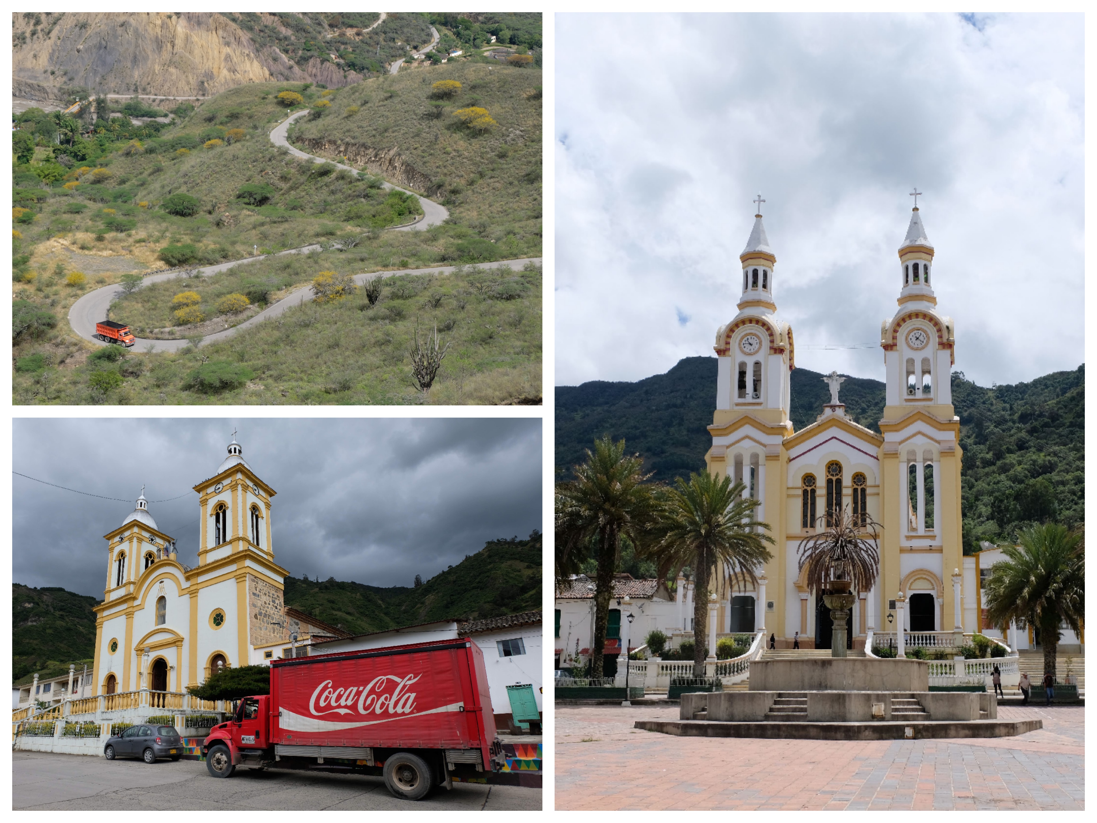
One of the beauties of having a car is that you can take your time exploring a little bit more of the area. On the way up we really enjoyed checking out all the local towns (Guacamayas in particular is really cute):
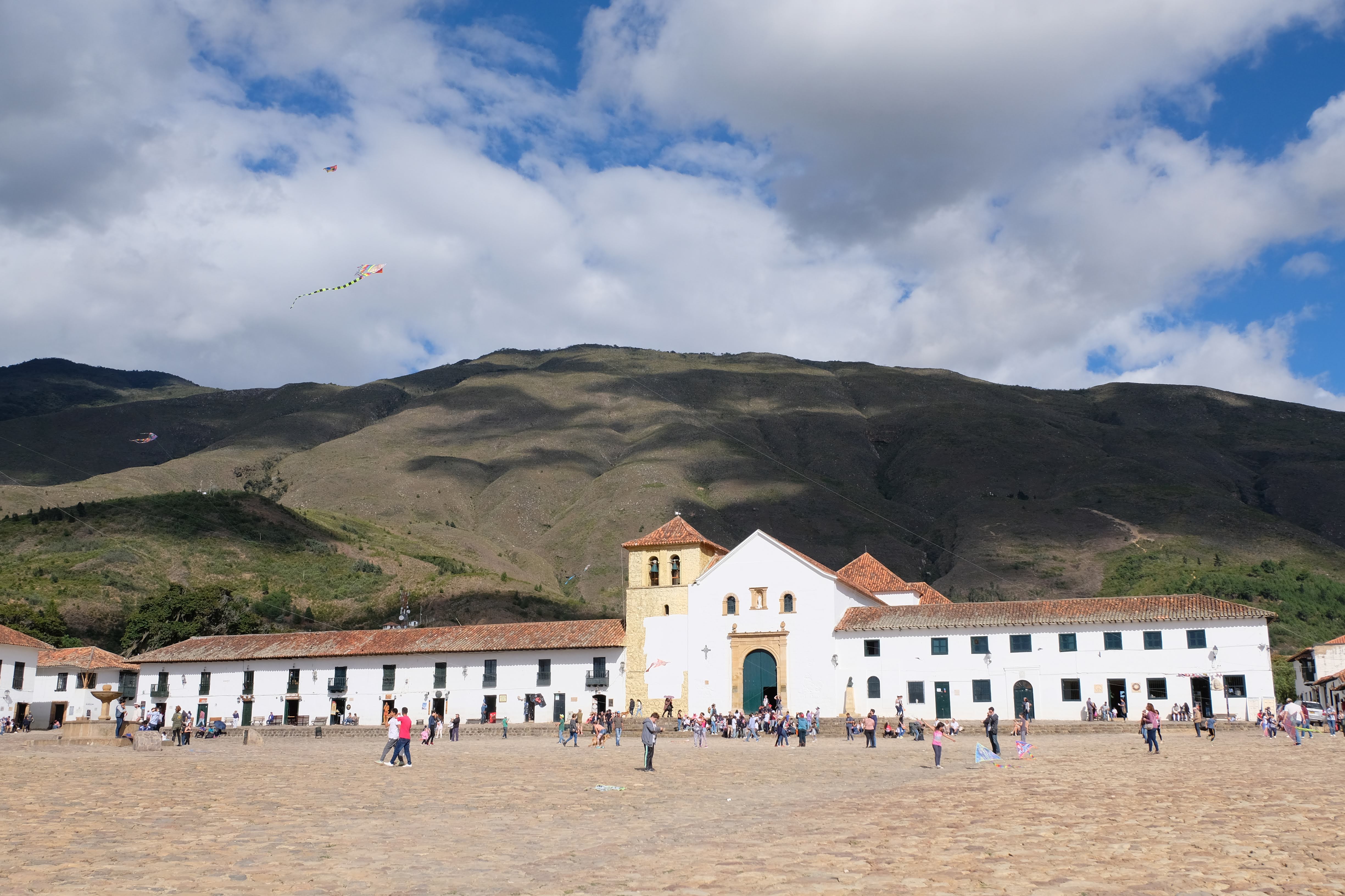
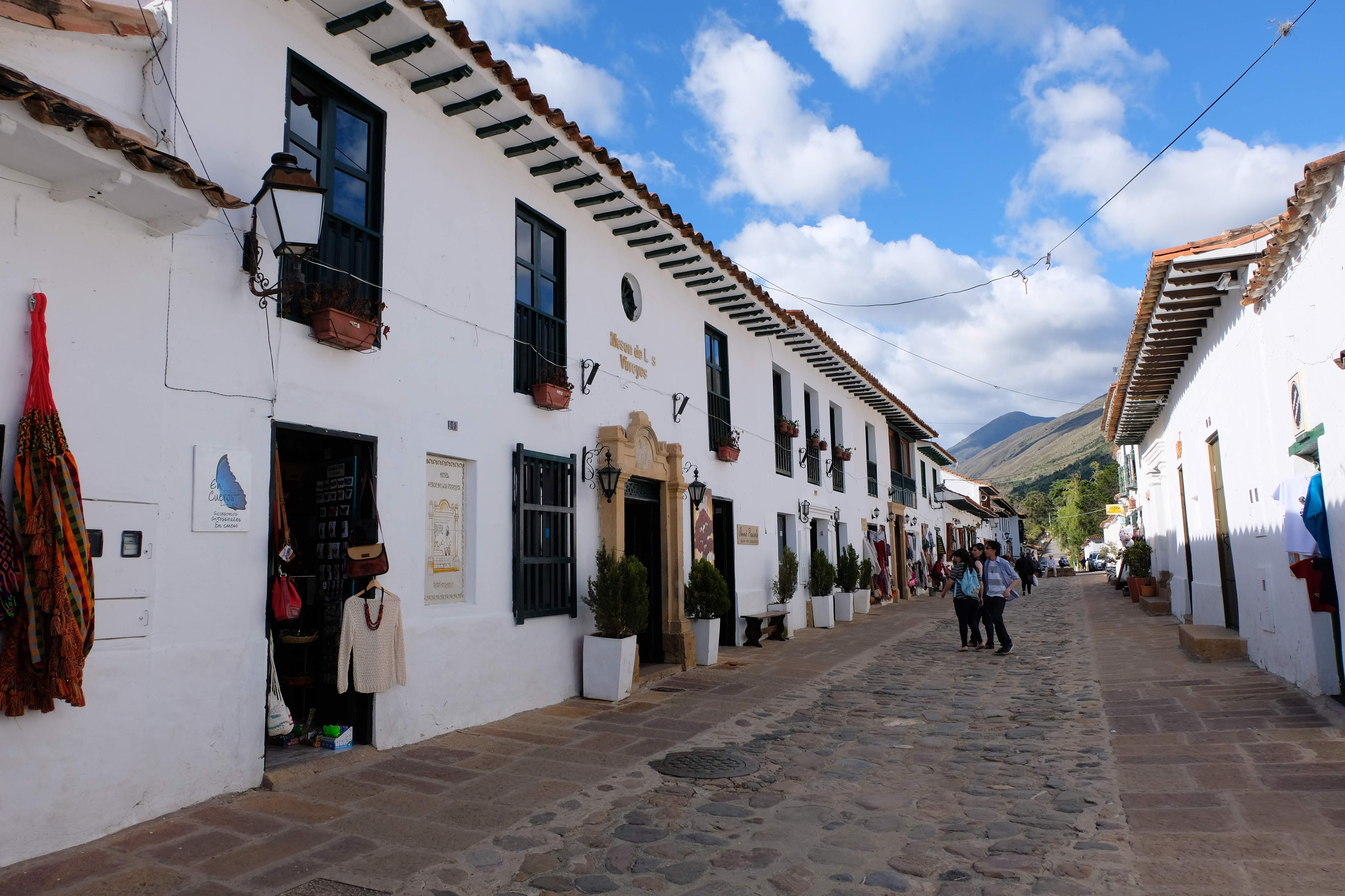
And on our way back down to Bogota we stopped into Villa de Leyva for a night.
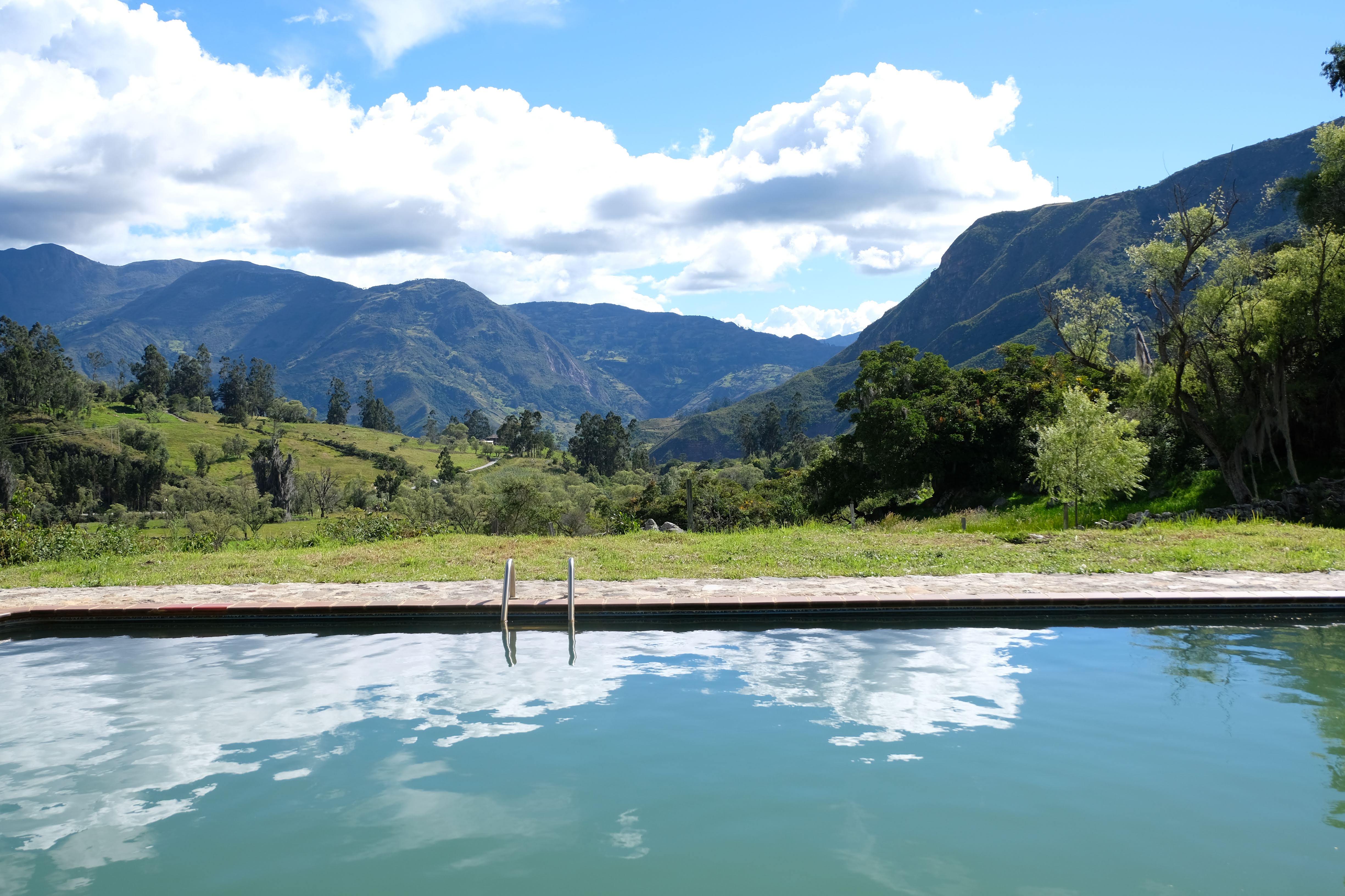
We also were able to drop back down into the valley for our rest day, at this lovely place with a thermal pool:
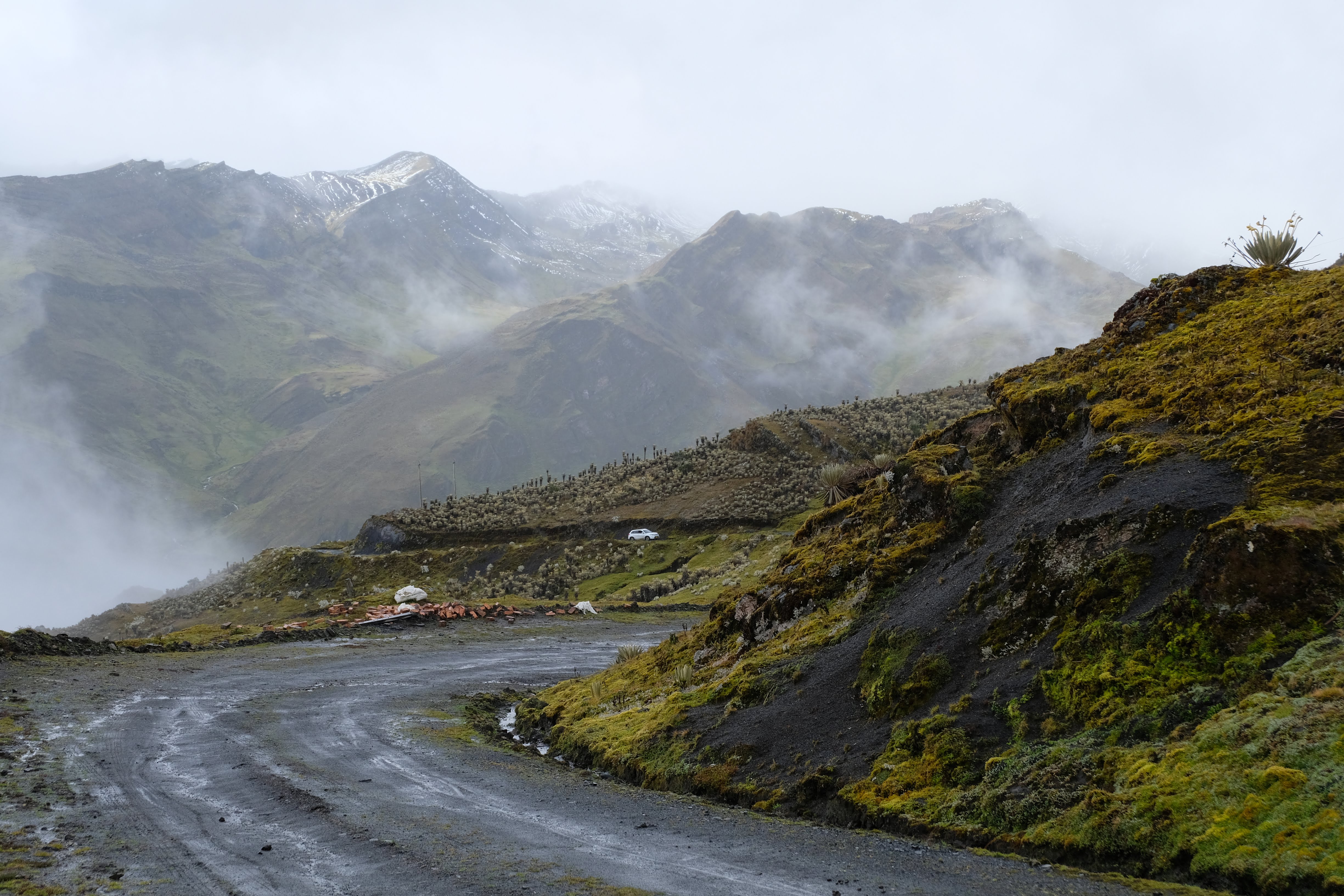
And we were able to go and explore the park a bit more:
Finally
It seems the information about El Cocuy changes quite regularly – if you use this blog to help you plan your trip and things are different when you get there, please let us know. We’ll try and keep things up to date!

